
Trace an Ocean Township Street Address
Begin with the street exactly as it appears on mail, a tax notice, or an old clipping. The first goal is not to name everyone connected with that street. It is to identify the right parcel. Monmouth County's consolidated property search accepts Township Name and an address string, and its instructions say a search can use just a street or part of one. Select Township of Ocean, rather than relying on a postal city, then save the block, lot, and qualifier that the result supplies. That parcel key carries the search from an address into property, tax, map, and deed records.
- Search the street in the consolidated property tool and save the municipal field, situs, owner-of-record field, and block, lot, and qualifier.
- Open the same parcel in the municipal GIS or tax-map route to compare its location with the street and surrounding parcel lines.
- Use the parcel key in the Tax Board search, selecting Township of Ocean and a tax year for annual assessment context.
- Use the owner or a known book and page in the County Clerk land index to locate recorded transfers and their party roles.
- For an earlier household clue, compare a dated directory or newspaper address and preserve its printed locality instead of silently modernizing it.
This street-by-street sequence keeps different record roles visible. A property owner may use a mailing address elsewhere. A recorded deed party may have moved long ago. A historical directory is a snapshot from its publication year. The Directory Book is the better place for the wider collection trail once a street and period are known.
Ocean Township Parcel Keys by Street
The Township of Ocean Tax Assessment page is the local gateway for property questions. It links the county property search, tax maps, municipal GIS, neighborhood sales, record cards, and the Monmouth deed system. The assessor page lists William Laird as assessor and provides weekday office hours, email, and the Township telephone route. It is useful when an address result needs an assessment or property-card explanation. It does not certify who occupies the parcel.
The county property tool is more precise than a broad street-name search because it offers separate paths for address, owner name, and parcel key. Keep the municipality selection with every result. Ocean Township is in Monmouth County, while another New Jersey municipality has the same name in Ocean County. A query that begins with a familiar postal label can land in the wrong jurisdiction unless the Township Name field is checked.
| Property-search field | How it works | Street research use |
|---|---|---|
| Township Name | Required dropdown | Select Township of Ocean before treating a result as local. |
| Address | Street text; partial street accepted | Use the printed street first, then test a short form only when needed. |
| Owner Name | Current or partial owner-name mode | Cross-check the recorded owner after a parcel has been identified. |
| Block, Lot, Qualifier | Three-part parcel mode | Use the legal parcel key to join tax, map, and deed work. |
| Map controls | Zoom, right-click, and radius tools | Compare the parcel's map position without treating proximity as a household fact. |
Note: The consolidated property page does not state a coverage year, so use tax lists and deed records when the question concerns an earlier period.
Ocean Township Street Search Fields
Address records work best when the original form is preserved. Street suffixes can vary across a deed, map, tax roll, or printed directory. If a result fails, try the street without the number, then compare a shortened or expanded suffix. The official property instructions use a street-only example, so a full number is not always the best input. A missing result can also reflect a neighboring postal place, a lot-based parcel, or a historical address form rather than a missing record.
- Parcel
- A mapped unit used in property and tax records. It can contain a structure, vacant land, or more than one unit.
- Situs address
- The physical property location recorded for a parcel. It is different from the address used for tax correspondence.
- Plat
- A recorded map or drawing that helps describe a parcel layout or subdivision. Check the Clerk or map source for its record context.
- Criss-cross directory
- An address-first directory arrangement that can help locate a dated printed entry after a street and number are known.
Ocean Township's postal geography makes this distinction practical. Ocean is associated with 07712, and Oakhurst is associated with 07755, yet a postal name is not the municipal field that county property systems expect. Record the raw street address, postal place, ZIP, Township of Ocean selection, and parcel key as separate values. That small discipline prevents a postal result from being mistaken for a municipal record.
Ocean Township Assessor Street Route
The assessor gateway supplies the local entry point before a street search moves to the county tools. The official Tax Assessment page links its property-search resources, tax maps, municipal GIS, and deed-search route in one place.
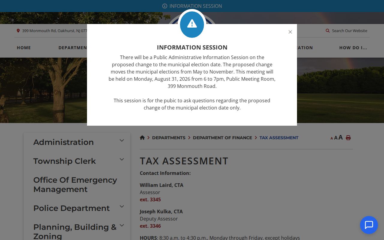
Use the page to choose the proper tool, then retain the source date with the result. Its assessment-ratio and tax-rate history runs through 2026, but a tax assessment is a fiscal record, not a market appraisal or a statement about a household. When the question is a transfer, switch to the County Clerk index rather than trying to make an assessment card answer a deed question.
Ocean Township Tax Lists by Street
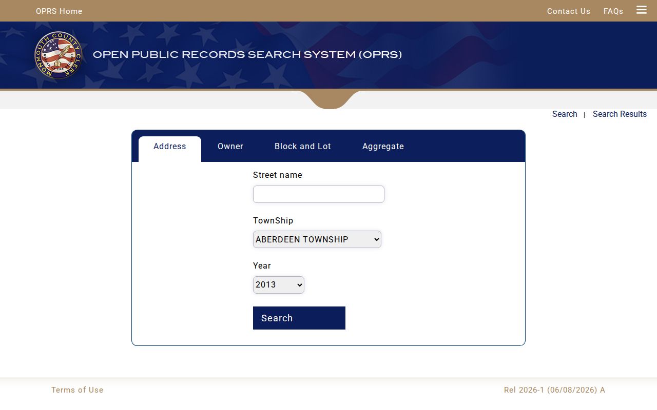
The Monmouth Tax Board search adds year-by-year context to an Ocean Township address search. Its modes include Address, Owner, Block/Lot, and Aggregate. Address mode uses a street name. Township and Year are required dropdowns, while the available years are dynamic. The screen also has exemption choices and aggregate categories, which are useful for reading a tax-list result as an annual property record rather than a current people list.
A MODIV or Tax Board result can show owner name, mailing address, property location, assessment, taxability or exemption information, tax year, and linked sales data. A sale record can add grantor, grantee, price, date, deed book/page, and square footage. Mailing address and situs should remain separate in notes. An owner may receive correspondence outside Ocean Township, and a business, trust, or estate should remain the entity label that appears in the public record.
The Tax Board search screen shows the address, owner, parcel, and annual-list paths that make a street-based comparison possible.
Note: An annual tax entry identifies the role recorded for that year; it does not establish current occupancy.
Ocean Township Deeds Along Streets
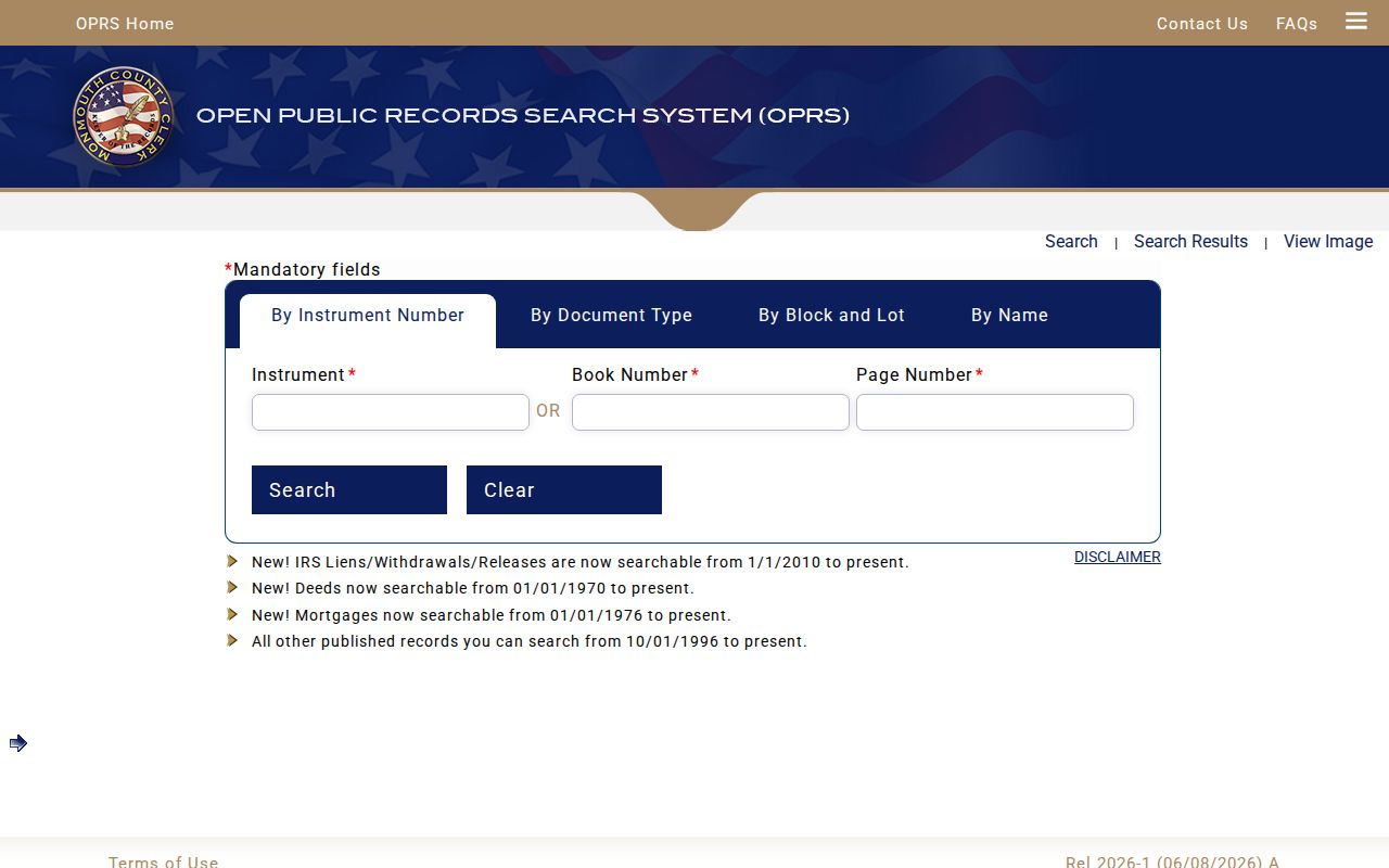
The Monmouth County Clerk land-record index is the legal bridge from a street parcel to recorded transfers. Name mode uses Last Name or Company Name, an optional first name, document type, optional dates, and percent-sign wildcard instructions. Document-type mode requires Municipality, Document Type, and From and To dates in mm/dd/yyyy format. It also offers short date buttons and a Results/Page selector. Select Ocean Township in the municipality control, then use narrow date windows because a normal date query is capped at 90 days.
Online coverage has different starts by record type: deeds are stated from 1970 to the present, mortgages from 1976, IRS lien material from 2010, and other published records from October 1, 1996. When an older transfer is missing, the next step is the County Clerk's in-person research route in Freehold, the Archives, or the State Archives. The index is informational rather than a title search. A certified copy or formal title work remains a County Clerk matter.
The deed index displays the grantor/grantee, instrument, document-type, and date paths used to follow an Ocean Township parcel through recorded transfers.
For a chain, capture the recorded date, document type, book/page or instrument, grantor, grantee, consideration, street text as printed, block/lot, legal description, image link, and a confidence note. A deed establishes a legal transfer, not a roster of all people connected to the address.
Ocean Township Records by Street
Several address-keyed sources can be compared, but they should not be collapsed into a single address result. The GIS provides a geographic view. The tax system adds an annual fiscal layer. The County Clerk index adds recorded party and transfer information. The voter system has a separate statutory role and the official public registration endpoint did not expose its field inventory during inspection. Historical directories preserve what a publisher printed for a date and locality. A careful street record keeps each source's date and role beside the result.
| Address-keyed source | What it can show | Access path | Important limit |
|---|---|---|---|
| OPRS consolidated property | Parcel, owner name, mailing address, situs, block/lot, and map/property information | Free county search | No displayed coverage year and no occupancy field. |
| Tax Board or MODIV | Street, owner, parcel, year, assessment, taxability, and sales context | Free county search | A tax entry is tied to its selected year. |
| Municipal GIS | Parcel boundaries, map position, and environmental layers | Ocean Township GIS | Map adjacency is geographic context only. |
| County deed index | Recorded parties, date, placement, consideration, and legal description | OPRS County Clerk index | Recorded party is not the same as occupant. |
| Voter and directory material | Registration-status path or dated printed address context | State or historical collections | Neither is a complete present-day street roll. |
New Jersey's public registration check is available through the state registration lookup. It is not an address directory, and signatures, Social Security numbers, driver or non-driver ID numbers, and protected addresses are not public fields. For a record question, the Monmouth Commissioner of Registration, County Clerk, and Board of Elections provide the offline path.
Ocean Township Map Layers by Address
The Ocean Township GIS should be used to locate a parcel and compare its physical setting with the property record. County ADP documentation describes searches by owner name, street address, or block/lot/qualifier, with links to assessment data and recent sales, tax appeals, and parcel boundaries. The live viewer was an interactive application during research, so its exact labels and option lists were not captured. Keep that gap visible instead of claiming an unverified search control.
Its documented layers include FEMA flood zones, NJDEP wetlands, contaminated sites, hazardous-waste information, and parcel boundaries. Those layers add place context to address research: they can explain why two parcels meet at a water feature or why a map edge does not look like a conventional next-door relationship. They do not identify a social relationship, current household, or private contact information.
Note: Save the map date and the parcel key when a visual boundary is used to interpret an address result.
Ocean Township Postal Place Checks
Postal labels and land-record keys do not line up one-to-one in Ocean Township. The county ZIP list identifies Ocean 07712 and Oakhurst 07755 for the municipality, while 07712 is also associated with Asbury Park and Interlaken. Use those names as discovery variants, not as proof of jurisdiction. A 07712 result needs the municipal field checked before it is treated as a Township result.
For an older address, retain the wording found in the directory, deed, or map. If a number seems to have changed, search the street name without the number, inspect nearby numbers, compare block/lot and legal description, and ask the Township Clerk or archives about a possible change. No official Ocean Township renumbering schedule, annexation record, or address-conversion map was found in the research. That is a reason to document the gap, not to supply a year by guesswork.
Limits of Ocean Township Street Records
A street result can support a narrow, dated statement: a parcel was mapped at a location, a tax system associated an owner with it for a year, a recorded instrument named parties to a transfer, or a directory printed a name and address. It cannot safely turn those separate observations into a claim that a named person currently lives at the address. Multi-unit parcels, vacant land, institutions, entity ownership, and out-of-town mailing addresses make that shortcut unreliable.
When a posted record is not enough, use the documented public route. The Township Clerk holds municipal records and its public-records request hub links local OPRA, police, and municipal-court request forms. Under the New Jersey Open Public Records Act, N.J.S.A. 47:1A-1 et seq., a custodian generally responds within seven business days, subject to the record and applicable exemptions. State and local confidentiality rules can restrict protected addresses and other material.
Lawful use. Ocean Township address records are for lawful personal research, family history, civic questions, and property context. Do not use a street search to stalk, harass, intimidate, or harm anyone; confirm important records with the custodian that holds them.