
Ocean Township Neighbors by Parcel
A block-level search for nearby Ocean Township parcels works best when each source is assigned a narrow job. A map shows which parcels are near a target. County property data identifies the parcel, owner-of-record fields, and annual tax context. The deed index dates a transfer between named parties. Voter records have their own public-field rules. A community page can show a meeting or public contact point, but it cannot stand in for a full block roster.
Start with the target parcel, then keep every surrounding lot separate. Record whether the relationship is north, south, east, west, map-relative, across a road, or divided by another feature. That notation matters because adjacent shapes can look close on screen without being conventional next-door parcels. It also keeps the result useful if another researcher repeats the same Ocean Township block method later.
| Block source | What it shows around an address | Access route |
|---|---|---|
| Municipal GIS | Parcel boundaries, nearby parcel shapes, and map-layer context | Interactive current viewer |
| OPRS consolidated property search | Property result, owner role, map and parcel information | Free county search |
| MODIV or Tax Board | Owner, mailing address, assessment, taxability, and selected tax year | County annual-record route |
| County deed index | Grantor, grantee, recording information, consideration, and legal description | OPRS land-record search |
| Voter record route | Public registration fields subject to statutory redaction | State check and county election offices |
| Community organization page | Public meeting, mission, or contact path | Township public page |
Note: An owner name, mailing address, or parcel boundary is a record fact, not proof that a particular person is a current neighbor or household member.
Ocean Township Parcel Views
The Monmouth County OPRS consolidated property search is the practical first stop for a target address. Select Township of Ocean, then search by address, owner name, or the parcel key made of block, lot, and qualifier. The address mode accepts a street or part of a street. The map mode supports zooming and a right-clicked location, but the exact radius choices were not exposed during the text inspection. Preserve the municipality selection because a postal city or ZIP alone is not the county parcel key.
The county property search shown below provides the address, owner, and block-lot routes used to ground an Ocean Township parcel search in a real record.
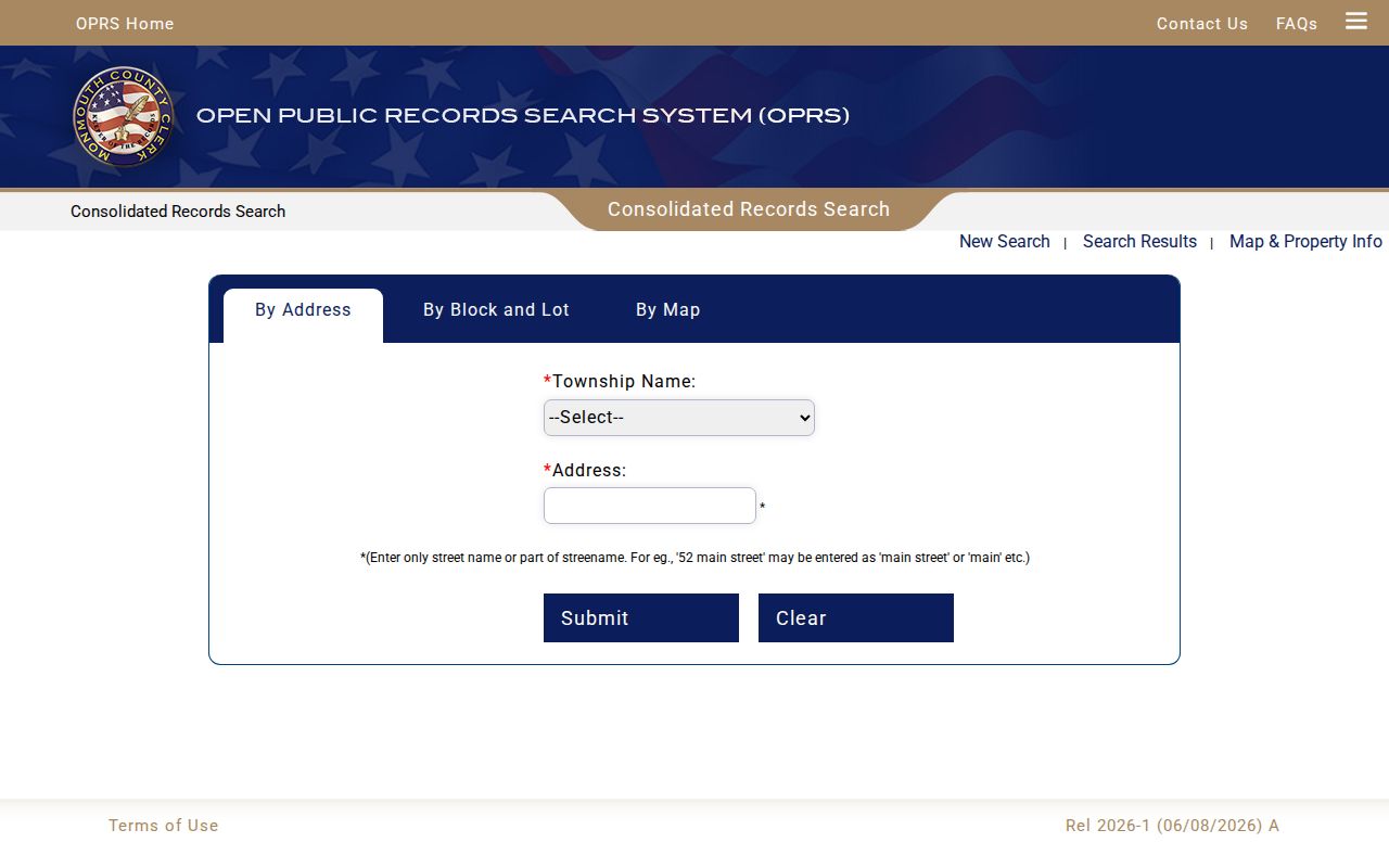
OPRS is not a ZIP filter. Ocean 07712 is also associated with Asbury Park and Interlaken in the county ZIP list, while Oakhurst 07755 is a postal locality used for Township Hall. Convert a postal discovery result into Township of Ocean, street, and parcel fields before comparing nearby lots. The municipal GIS provides a visual complement, but its live field inventory was not exposed in the research capture.
The property result may show owner name, mailing address, property location or situs, municipality, block, lot, qualifier, assessment, taxability, tax year, and linked sales or deed data. Situs means the physical parcel location; a mailing address is where tax correspondence goes. Neither field alone tells who occupies the site.
Map an Ocean Township Block
For an Ocean Township block search, repeat the same parcel test for every lot around the target rather than relying on a shared street name. The nearest-parcel method is reproducible because it preserves the map relationship, parcel key, and record date. A lot may meet another lot across a road, water feature, or right-of-way. The map is geographic context. The property and deed records provide the separate ownership and transfer context.
- Locate the target in OPRS or the municipal GIS and save its street form, block, lot, qualifier, and map position.
- Mark parcels sharing a boundary or immediately surrounding it. Record the direction and whether a road or other feature separates the lots.
- Search each surrounding block-lot-qualifier separately in OPRS or the Tax Board, then keep the owner role and mailing field separate from the situs.
- Use the deed index when a transfer date or legal description matters. Compare the map and record results rather than compiling personal contact details.
The process is address to parcel, parcel to surrounding lots, surrounding lots to their individual county records, then a deed check when history matters. For the larger chain along a named road, the Ocean Township street directory uses a separate street-by-street workflow.
Note: A result should identify the map relationship and parcel record date, since nearby ownership is not the same thing as a social, family, or household relationship.
Ocean Township Neighbor Record Dates
The Monmouth Tax Board search adds annual context. Its modes include address, owner, block/lot, and aggregate searches, with Township and Year selectors. A detailed county property result can show owner name, mailing address, property location, assessment, exemption or taxability, and tax year. That makes it useful for checking a parcel record against a specific year, not for deciding who shares a household.
For transfer history, use the County Clerk land-record index by last name or company name, municipality, document type, and date window. A deed image can show grantor and grantee, consideration, street address, block or lot, and a legal description. It is a digital reproduction without the official seal. A certified copy or formal title work belongs with the Clerk’s office.
| Official record | Best use for neighboring parcels | Important limit |
|---|---|---|
| GIS parcel view | Locate boundaries and nearby lots | Geographic proximity only |
| Tax or MODIV result | Compare owner role, situs, mailing field, assessment, and year | Mailing field may be outside Ocean Township |
| Recorded deed | Date a transfer and read legal parcel identifiers | Transfer party is not necessarily an occupant |
Deeds are stated online from 1970 forward, mortgages from 1976 forward, and other published recorded records from October 1, 1996 forward. Earlier gaps call for the County Clerk counter, Archives, or State Archives. A missing online result is a coverage issue to record, not evidence that no earlier neighbor existed.
Ocean Township Neighbor Voter Geography
New Jersey voter data has a limited role in an Ocean Township block search. The official registration check is for a person’s status, not a live address directory. The exact field labels were unavailable during research because the endpoint returned an HTTP 403 response. For an election-record question, the Monmouth County Commissioner of Registration, County Clerk, and Board of Elections are the offline routes.
State law describes public voter-file fields that can include a name, address, municipality or ZIP, ward or election district, registration information, and party designation if provided. It excludes signatures, Social Security numbers, driver or non-driver identification numbers, and protected covered-person addresses. A name in an election record does not show every adult at a parcel, every person still there, or a personal connection between neighboring lots.
Public parcel records and commercial neighbor tools answer different questions. The former expose a defined government record and its date; the latter can merge stale or mismatched data without establishing the source role. For an Ocean Township block, use official records for their narrow purpose and keep unverified results out of any summary.
Ocean Township Neighbor Community Paths
Community records add a public layer to a block question without turning into a resident roll. The Township of Ocean pages located in research identify the Garden Club and Environmental Commission, but no official list of named neighborhood associations or complete neighborhood-by-neighborhood directory was found. These pages offer meetings, mission, and public contact routes. They do not establish who belongs to a group or who lives on a street.
The Ocean Township Garden Club page is shown below. It gives a public community path for local context beyond a parcel record.
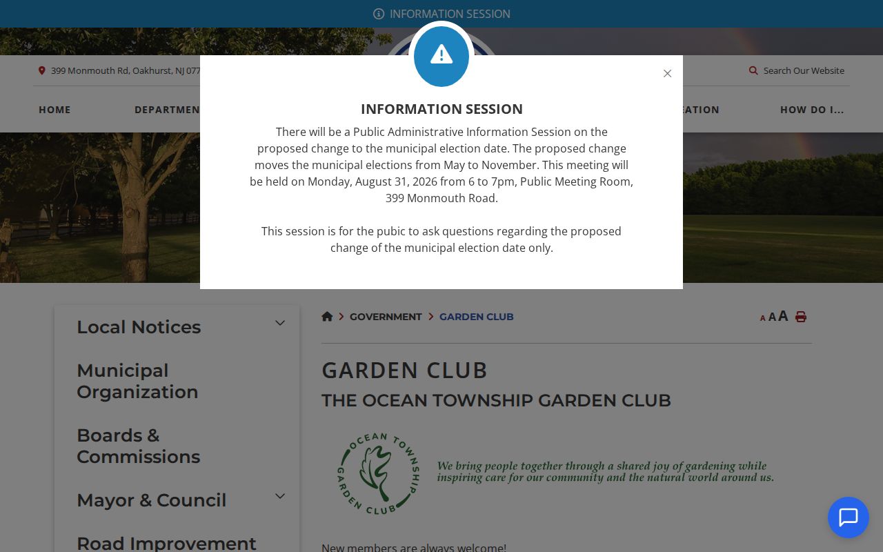
The Garden Club meets on the second Monday of each month at West Park Recreation Center on West Park Avenue in Oakhurst and welcomes members. That public meeting information can help a reader learn about a civic group, but it is not a membership database.
Ocean Township Garden Club
Public community group with a monthly meeting at West Park Recreation Center. Use the official page for current meeting and participation details.
Environmental Commission
Resident-appointed advisory group with Township-wide environmental-resource work and a public research or contact route.
Ocean Township Neighborhood Map Layers
Nearby parcels also share physical context. County assessment-GIS documentation describes searches by block, lot, qualifier, owner name, and street address, with daily updates for recent sales, tax appeals, and parcel boundaries. The available layers include FEMA flood zones, NJDEP wetlands, contaminated sites, and hazardous-waste information. These layers explain land and map context around an Ocean Township block. They do not identify residents.
The Ocean Township Environmental Commission page leads to the Township-wide Environmental Resource Inventory and public contact route. It provides local context for a parcel-based block search.
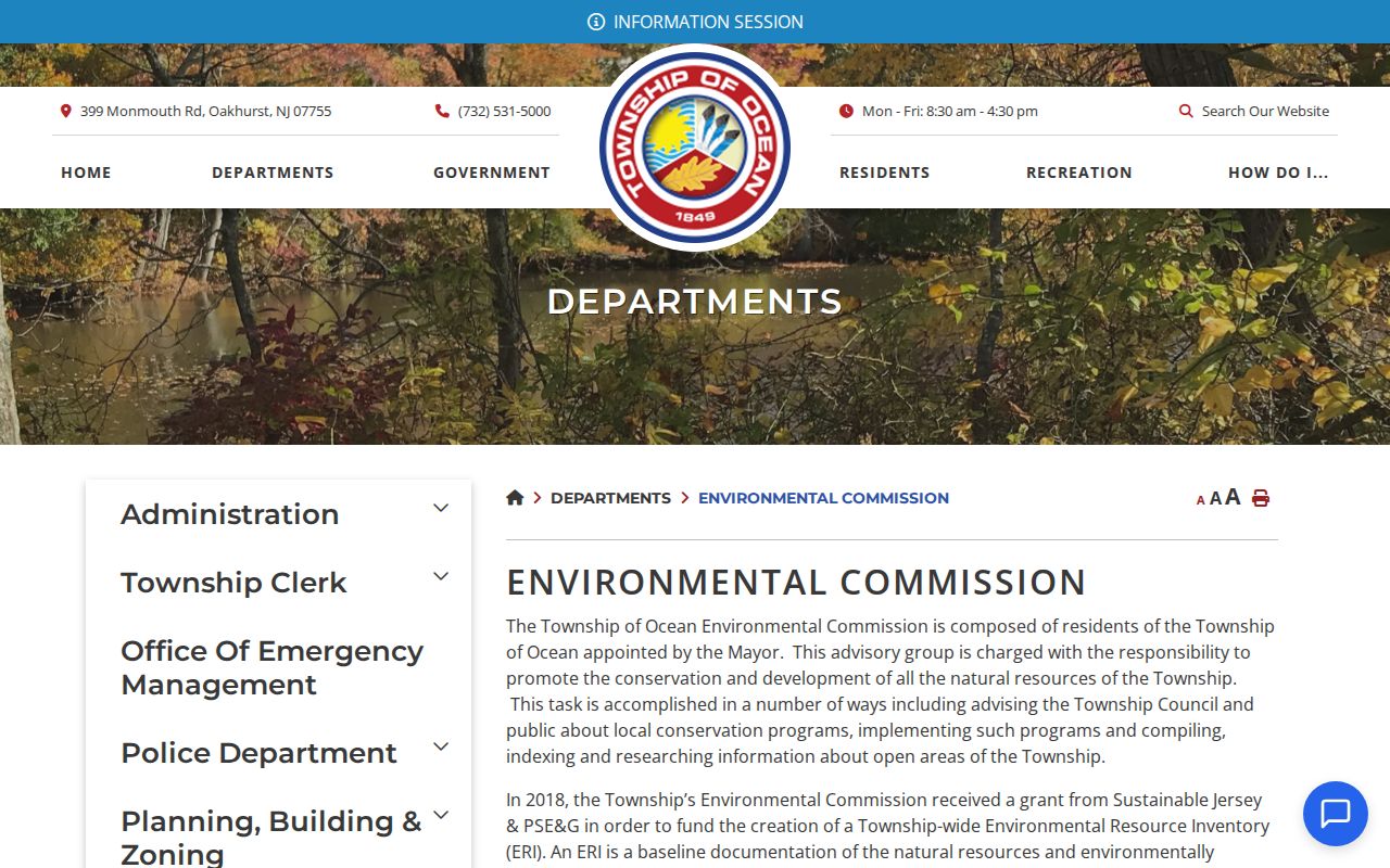
Flood, wetland, and parcel-boundary layers are useful for explaining why two lots are near each other on a map or separated by a physical feature. They should never be used to infer a private person’s movements, habits, or household details.
Note: Environmental and map layers describe the land around a block, not the people connected to its parcels or nearby postal addresses.
Ocean Township Block Privacy Limits
A block lookup should stop at the public role each source can support. A tax card may show an owner and mailing address. A deed may show a party to a transfer. A voter record may have public fields while withholding protected identifiers. A community page may announce a meeting. None of those sources supplies a complete list of renters, household members, delivery data, utilities, or private contact information. Ocean Township pages should minimize displayed fields and keep the original record type visible.
New Jersey OPRA is access to existing government records with exemptions and redactions, not a command to assemble a personal dossier. The Address Confidentiality Program and Daniel’s Law provide protection routes for eligible or covered people. Respect the custodian’s redaction and do not reconstruct a protected address from a different source.
Lawful use. Use official Ocean Township block records for personal, lawful research, civic curiosity, or property context. Never use public records to stalk, harass, intimidate, or harm anyone.
When a map or record needs clarification, ask the office that holds it. Keep the parcel key, source date, and stated limitation with any observation about a block.